Tripitos Arch
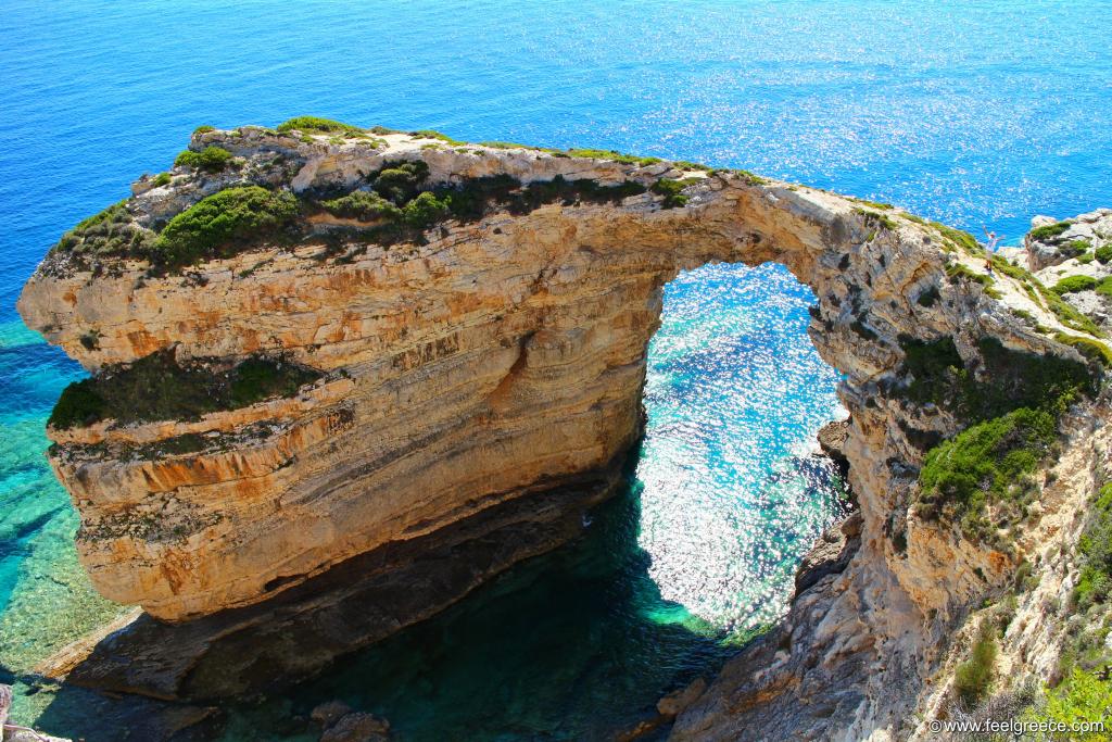
The Tripitos Arch (also known as Kamara) is a natural rock arch which is actually part of a collapsed sea cave. It can be found on the west coast of Paxos and accessed by sea or on foot. The hiking trail is not difficult but it is a bit hard to find it as there are not many signboards. Also, some of the roads on the map leading to it were closed by private houses (by the time we tried to reach it). The GPS coordinates of the place to which you can go by car or bike are: 39.182751,20.185422. The road starts from the outskirts of Ozias village, it is not paved but the condition is acceptable. After you leave your vehicle, the rest of the route (about 300 meters) should be taken on foot, on a small path leading down to the arch. The path is steep and rocky in the last part of the route so proper shoes should be considered.
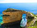
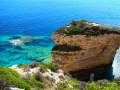
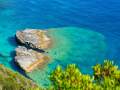
The arch is very imposing, over 20 meters in its highest part. It seems scary and narrow from the above but it is wider than it looks and one can easily walk on the top of it. The sea water around the arch is transparent and you can take amazing photos. The island of Antipaxos is clearly seen from Tripitos.
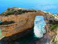
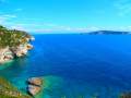
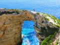
Photos
Address and contacts
highlights: imposing natural rock arch, nature in Paxos, Ionian Islands, Greece